|
|
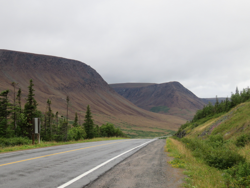
more earth's mantle, on the road to Trout River. |
Home |
|
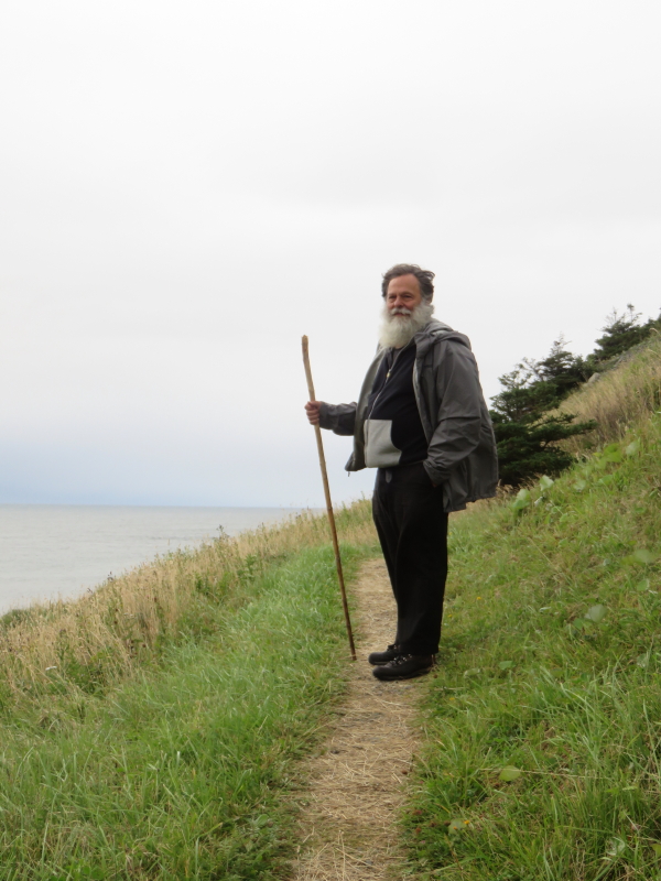
Norman, at one end of Trout River |
Home |
|
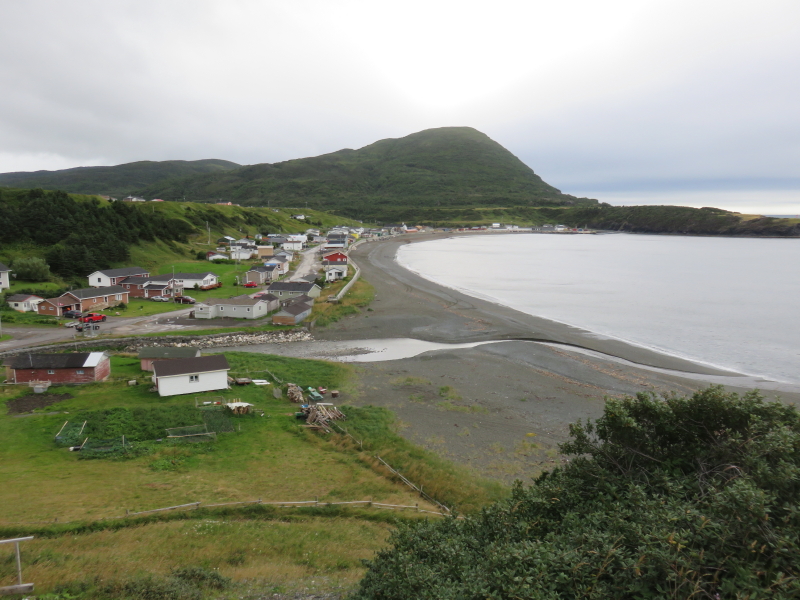
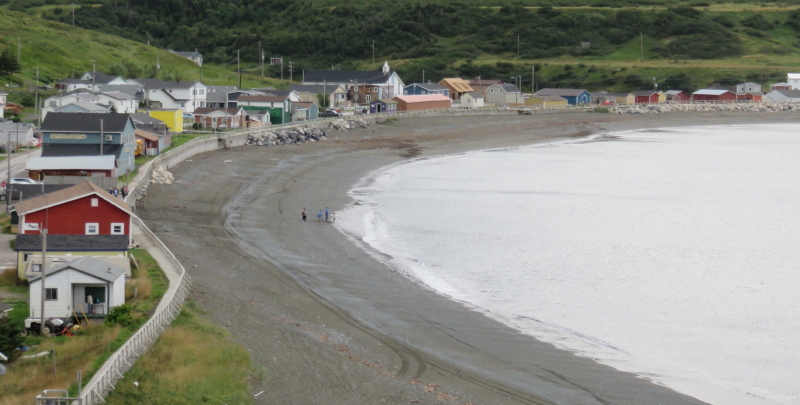
Trout River, from above |
Home |
This is the village where a Blue Whale was beached a few years ago. After defleshing (a horrific smelling process, done naturally, far away) the bones ended up in the Royal Ontario Museum , in Toronto |
Home |
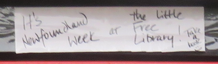
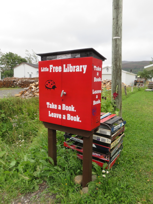
Little Free Library in Trout River |
|
Home |
|
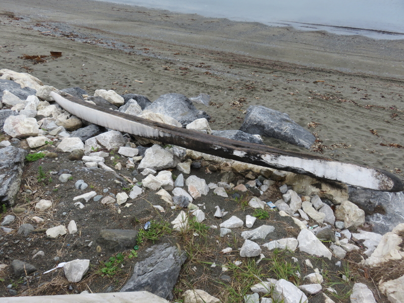
A strayish whale jawbone.... |
Home |
|
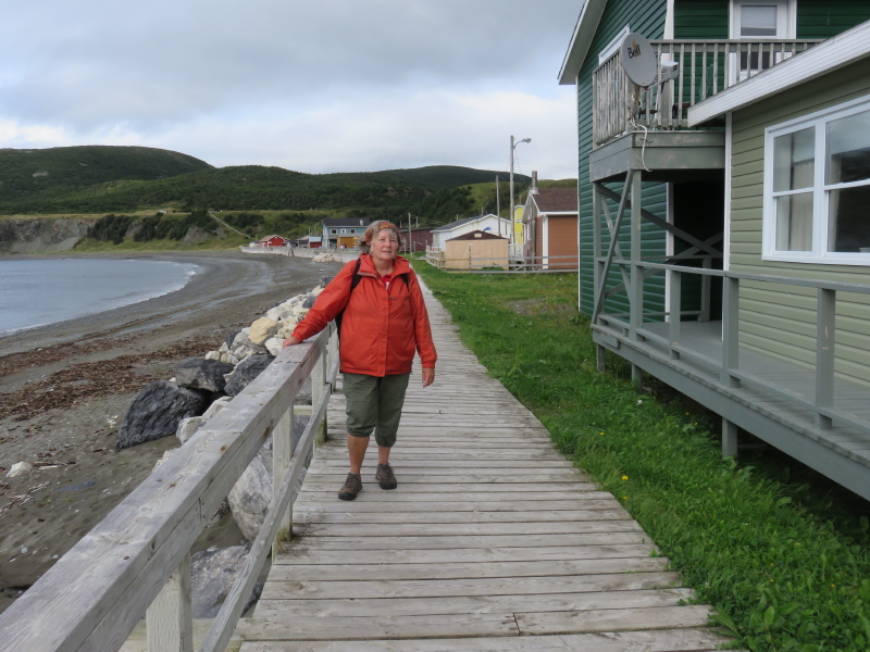
Boardwalk at Trout River |
Home |
|
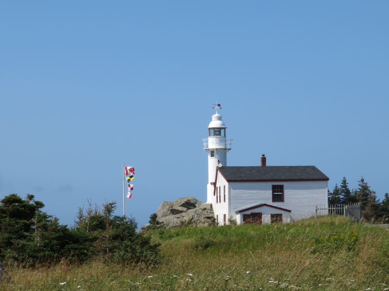
Lighthouse as Lobster Head Cove |
Home |
|
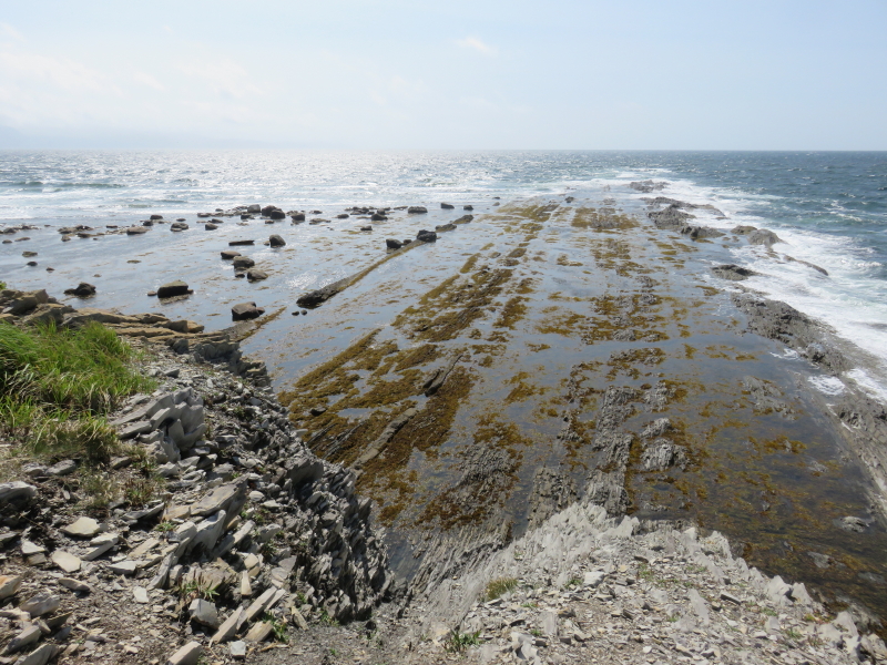
Amazing geological formation at Green Point |
Home |
|
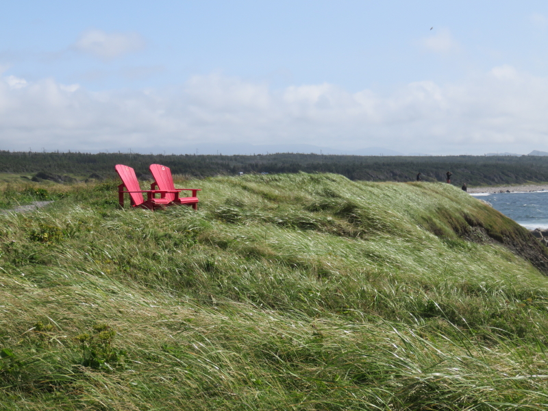
A place to sit and look out over the Gulf of St. Lawrence. |
Home |
|
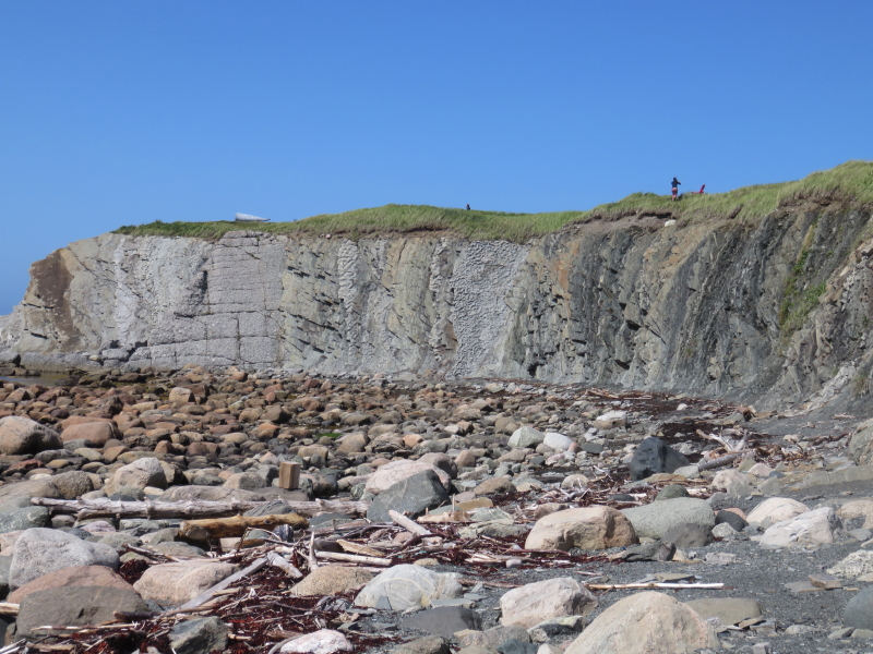
Still at Green Point. Billions of years of earth's formation layers, now
turned on its side.
Map of Gros Morne |
Home |
|
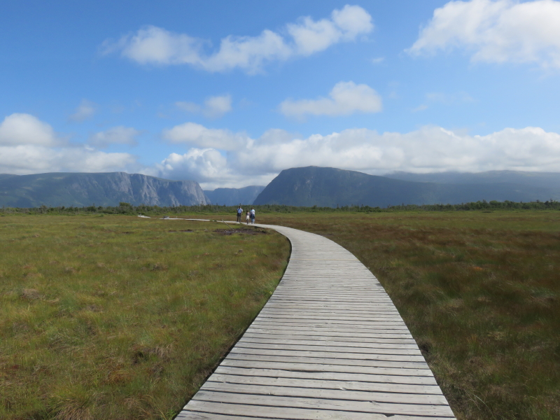
Next we head to the hike to Western Brook Pond, through a vast bog. That's the sides of the pond (a landlocked fjord) in the distance. |
Home |
|
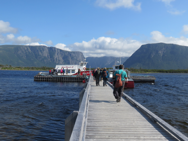
Boarding the tour boat for Western Book Pond. |
Home |
|
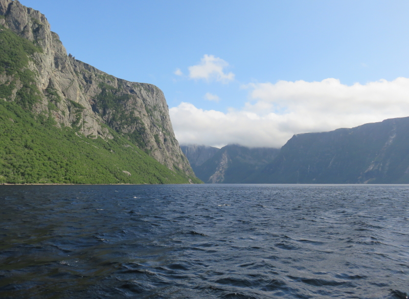
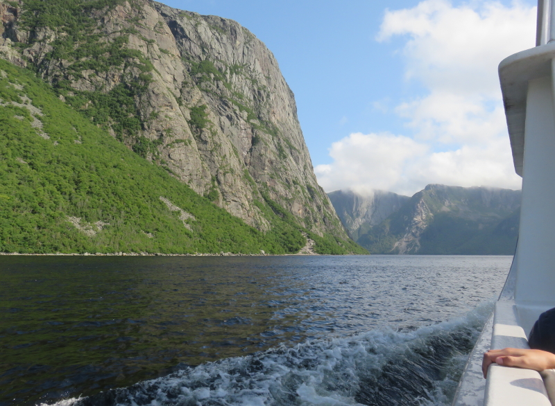
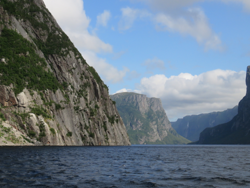
sailing up the pond, undeterred by a pending solar eclipse, which will be barely discernible. |
Home |
|
Home |
|
Home |
|
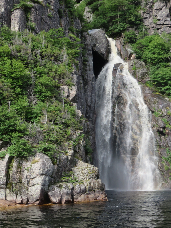
Water trickles a long way from top to bottom. This is the bottom. |
Home |
|
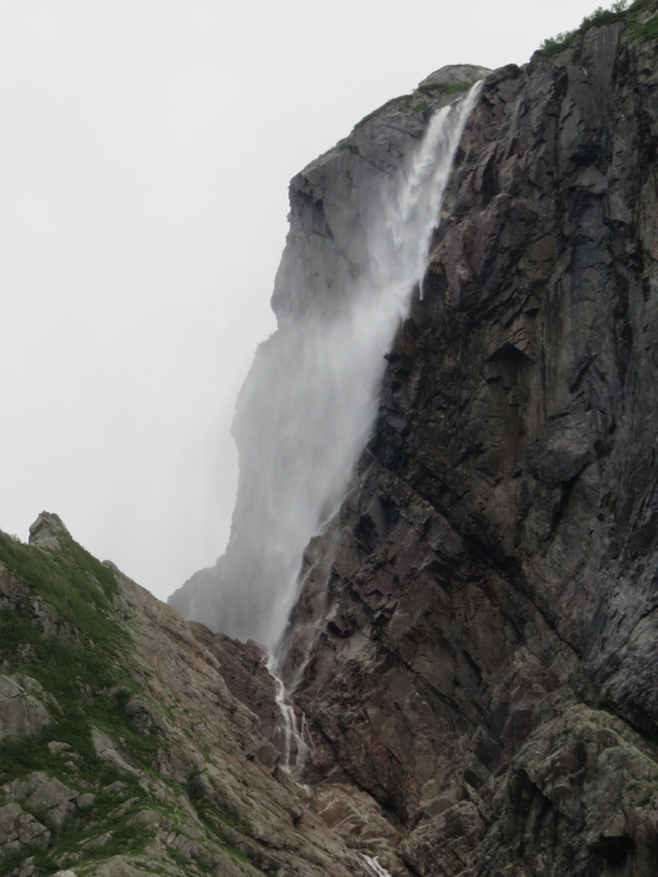
This is the top. |
Home |
|
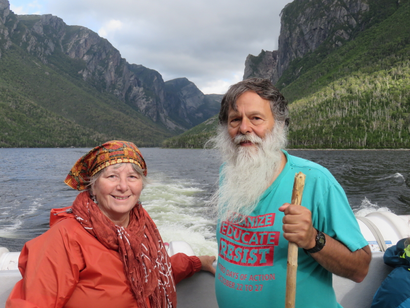
The top end of the pond is behind us now. |
Home |
|
And now, we're in Salvage, on the opposite end of Newfoundland (the east coast, near Glovertown). It's a tiny quiet village, completely charming. Here's my Salvage Selfie at the Fisherman's Museum. |
Home |